
Eligibility note: This fellowship is open only to nationals of, and people currently working in, 11 African countries: Cameroon, the Democratic Republic of Congo, Ethiopia, Kenya, Rwanda, Senegal, Sierra Leone, South Africa, Tanzania, Tunisia and Uganda. Nigeria and Ghana aren’t on the list.
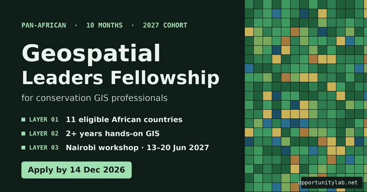
The African Wildlife Foundation (AWF) is recruiting the 2027 cohort of its Geospatial Leaders Fellowship. It’s a ten-month, pan-African programme for mid-level conservation GIS professionals who use spatial data to protect Africa’s wildlife and wild lands. Fellows work for NGOs, government agencies, research institutions, private companies or community organisations.
Applications close on 14 December 2026 at 23:59 East Africa Time. That’s 21:59 in Lagos and Kinshasa, 22:59 in Johannesburg and 20:59 in Dakar.
At a Glance
| Organiser | African Wildlife Foundation (AWF), Nairobi |
| Programme | Geospatial Leaders Fellowship, 2027 cohort |
| Duration | 10 months: virtual sessions, self-paced learning, mentorship and a capstone project |
| In-person workshop | Nairobi, Kenya, 13–20 June 2027 |
| Who can apply | Mid-level conservation GIS professionals from 11 eligible African countries |
| Deadline | 14 December 2026, 23:59 EAT |
About the Fellowship
AWF launched the fellowship in December 2025 to build a group of African GIS professionals who can turn spatial data into practical decisions for conservation. That includes tracking deforestation, mapping wildlife corridors, reducing human-wildlife conflict and supporting land-use planning. The first cohort of six fellows, from Kenya, Uganda, Tanzania, Sierra Leone, the DRC and Senegal, was chosen from nearly 1,000 applicants, so competition is strong.
Benefits
- Ten months of hands-on training in advanced GIS and remote sensing for conservation
- Mentorship and access to experts and modern geospatial tools and data
- A capstone project that delivers real outputs for your host organisation
- An in-person workshop in Nairobi from 13 to 20 June 2027
- Membership of a pan-African network of conservation GIS professionals
AWF described the first, 2026 fellowship as fully funded. The 2027 call doesn’t list what’s covered, such as travel to Nairobi, so confirm with AWF if you’re selected.
Eligibility
- You must be a national of, and currently working in, one of the 11 eligible countries listed above.
- You need at least two years of hands-on GIS experience in conservation, natural resource management or a related field.
- You must be employed by or attached to an organisation that will host your capstone project, and provide a letter of support from your employer confirming your full participation.
- You must be able to commit to ten months of consistent engagement.
- You must be available to travel to Nairobi from 13 to 20 June 2027.
You don’t need to be a GIS expert. AWF says it’s looking for professionals who are still growing and see geospatial work as a way to lead change for people and nature.
How to Apply
- Open AWF’s official application page (link below) and click Apply. On a phone, the button is at the top.
- Create an account using your official name and an email address you check often.
- Fill in the application. You can save your progress and come back later.
- Get your employer’s letter of support ready before you start.
- Submit before 14 December 2026, 23:59 EAT.
Apply for the AWF Geospatial Leaders Fellowship 2027 (official application page)
AWF contact: Ngong Road, Karen, Nairobi. Tel: +254 711 063 000.
Tips
- Write in your own voice. AWF warns that it has rejected many applications for obvious overuse of AI.
- Be specific about your GIS work. Name the tools you use (QGIS, ArcGIS, Google Earth Engine, Python) and the conservation problems you’ve mapped.
- Propose a realistic capstone your organisation actually needs, with clear outputs.
- Be honest about where you are. AWF wants to know where you are today and where you want to grow.
